
Image and map credits
The photographs on this site show real places in El Salvador and Honduras. Their authorship, licence and source are listed here, as those licences require.
Photographs
On the site, the photographs are shown cropped and with a common colour adjustment. Versions derived from works licensed CC BY-SA are shared under the same licence; that condition applies only to those images, not to the rest of the site.
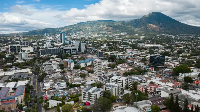
Aerial view of San Salvador with office towers and the San Salvador volcano behind
Arne Müseler / www.arne-mueseler.com, CC BY-SA 3.0 DE, via Wikimedia Commons
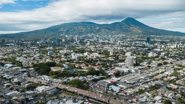
Aerial panorama of San Salvador with the San Salvador volcano
Arne Müseler / www.arne-mueseler.com, CC BY-SA 3.0 DE, via Wikimedia Commons
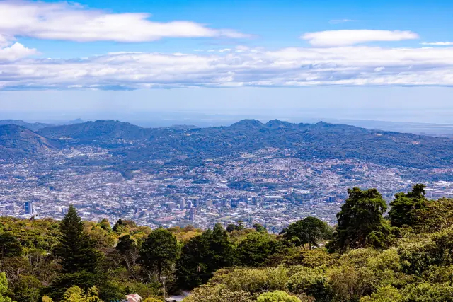
The San Salvador valley seen from above, with forest in the foreground
Arne Müseler / www.arne-mueseler.com, CC BY-SA 3.0 DE, via Wikimedia Commons
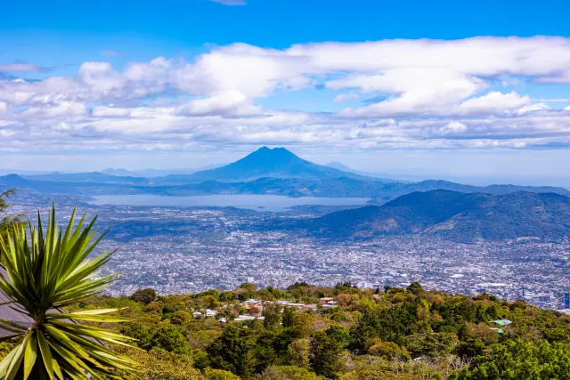
Greater San Salvador, Lake Ilopango and the San Vicente volcano
Arne Müseler / www.arne-mueseler.com, CC BY-SA 3.0 DE, via Wikimedia Commons
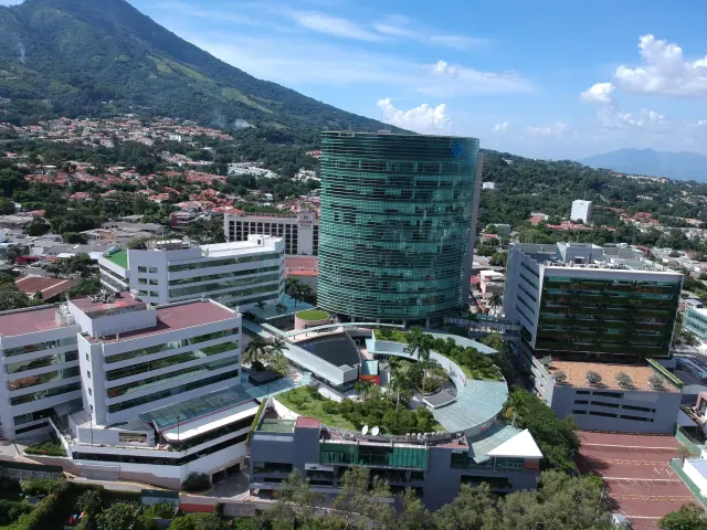
World Trade Center San Salvador complex with the San Salvador volcano behind
JMRAFFi, CC BY-SA 4.0, via Wikimedia Commons
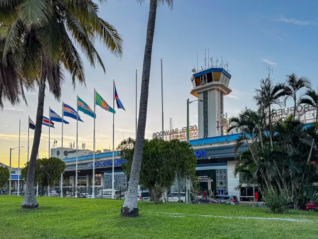
Control tower and terminal of El Salvador International Airport, in San Luis Talpa
Arne Müseler / www.arne-mueseler.com, CC BY-SA 3.0 DE, via Wikimedia Commons
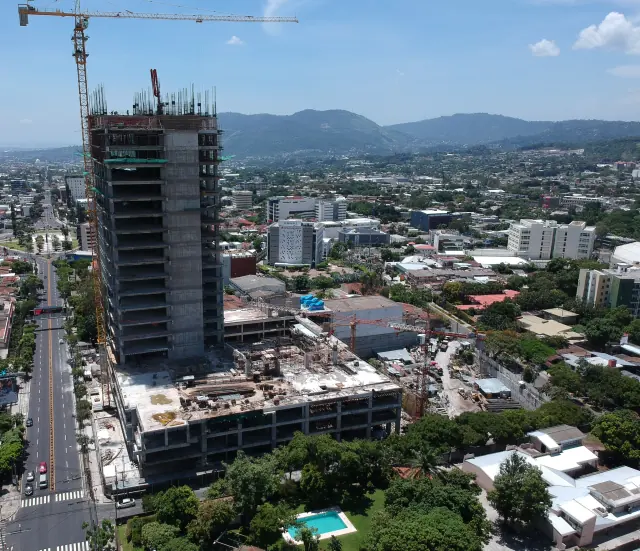
Building under construction in San Salvador, with a tower crane above the concrete frame
JMRAFFi, CC BY-SA 4.0, via Wikimedia CommonsCropped image
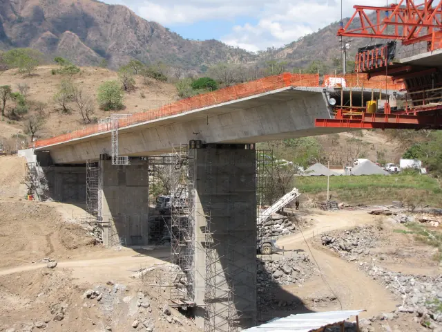
Bridge under construction over the Lempa River, El Salvador, with scaffolding and heavy equipment on site
Daniel chavez castro, CC BY 3.0, via Wikimedia Commons
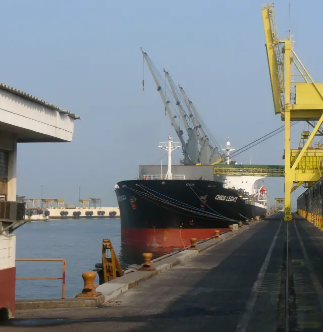
Pier of the Port of Acajutla, El Salvador, with a bulk carrier and a crane
Erickssonr, CC BY-SA 3.0, via Wikimedia CommonsCropped image
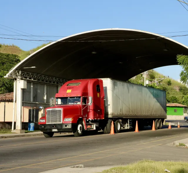
Truck at the El Amatillo border crossing between El Salvador and Honduras
Courtesy of Embajada de EE. UU. en San Salvador, via Wikimedia Commons / FlickrCropped image
View the originalPublic domain (work of the U.S. government)
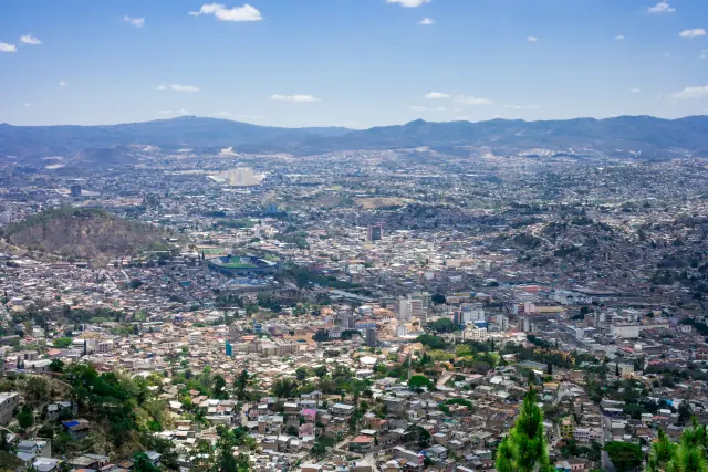
Panorama of Tegucigalpa, Honduras
Nan Palmero, CC BY 2.0, via Wikimedia Commons / Flickr
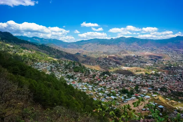
Tegucigalpa and its mountains under a blue sky, Honduras
Nan Palmero, CC BY 2.0, via Wikimedia Commons / Flickr
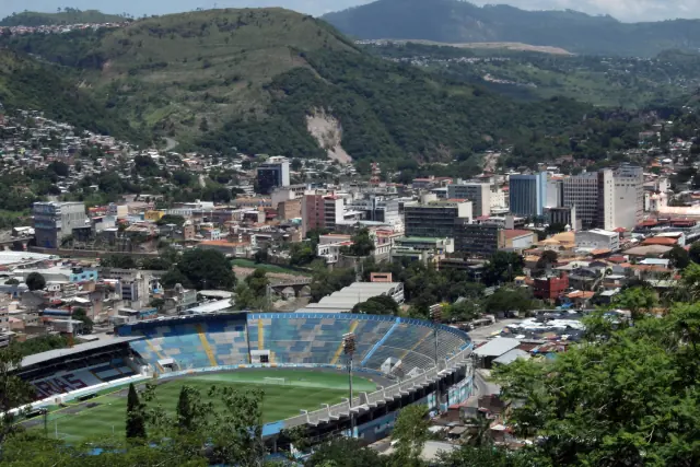
Central Tegucigalpa and Comayagüela, Honduras, with modern buildings and the National Stadium
Luis Alfredo Romero, CC BY-SA 4.0, via Wikimedia Commons
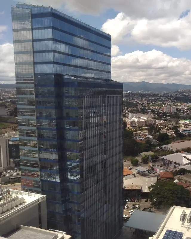
Glass office tower and view of Tegucigalpa, Honduras
Luis Alfredo Romero, CC BY-SA 4.0, via Wikimedia CommonsCropped image
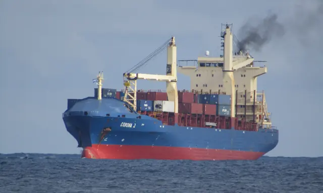
Container ship off Puerto Cortés, Honduras
Luis Alfredo Romero, CC BY-SA 4.0, via Wikimedia CommonsCropped image
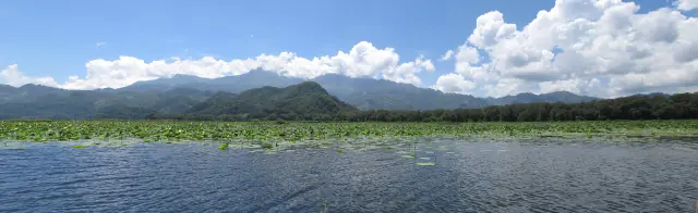
Lake Yojoa and mountains, Honduras
Roberto Mejia A., CC BY-SA 3.0, via Wikimedia Commons
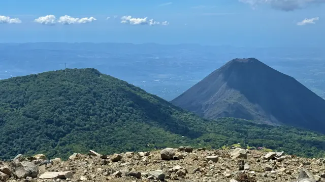
Cerro Verde and the Izalco volcano seen from the Santa Ana volcano, El Salvador
Dead.rabbit, CC BY-SA 4.0, via Wikimedia Commons
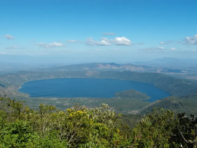
The Lake Coatepeque caldera, El Salvador
JMRAFFi, CC BY 4.0, via Wikimedia Commons
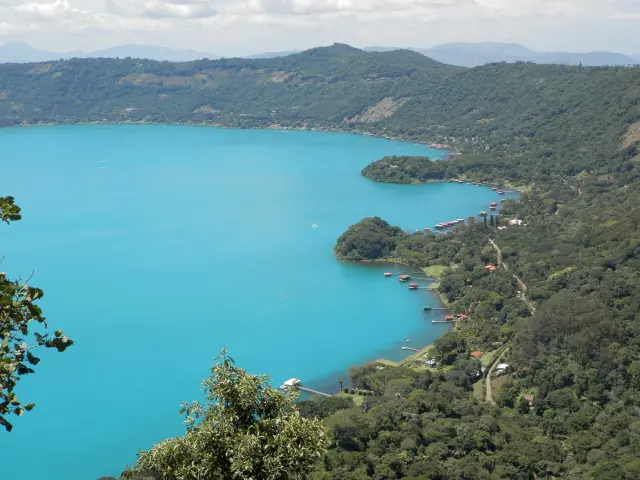
Turquoise water and shore of Lake Coatepeque, El Salvador
JMRAFFi, CC BY-SA 4.0, via Wikimedia Commons
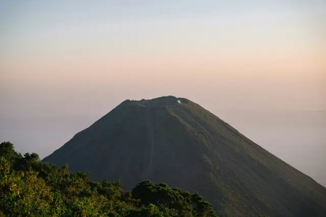
Volcanic cone at sunset in Cerro Verde, Santa Ana, El Salvador
Courtesy of Jose Marroquin, on Unsplash
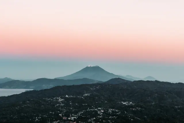
Volcano at dawn seen from Los Planes de Renderos, San Salvador
Courtesy of Oswaldo Martinez, on Unsplash
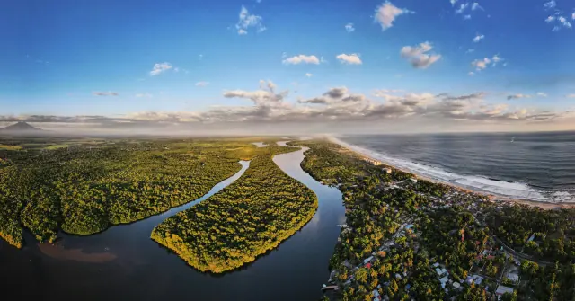
Aerial view of an estuary, mangroves and a Pacific beach in La Paz, El Salvador
Courtesy of Enrique Alarcon, on Unsplash
Regional map
- Coastlines, lakes and departments: Natural Earth, 1:10m scale, public domain. Outlines of Honduras and El Salvador and their shared border: © OpenStreetMap contributors, ODbL license.
- Coordinates of the ports of Cutuco and Henecán, the El Amatillo and El Poy border crossings and the San Bartolo and El Pedregal free zones: © OpenStreetMap contributors, ODbL licence.
- The corridors on the map are schematic; they are not road routes.
Natural Earth: terms of useOpenStreetMap: copyright and licence